Transportation Network
Our District
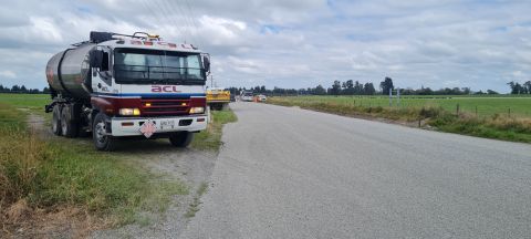
Ashburton District Council operates and maintains one of the largest roading networks in New Zealand. As the pathway for transporting the district's produce to domestic and international markets, our road network plays an essential part in supporting the local, regional and national economies.
The effects of changing land use have resulted in significant increases in heavy traffic use on our roads and Council continually strives to provide an efficient and effective transport to all road users in the district.
State Highway 1 and State Highway 77 run through the district and are the responsibility of Waka Kotahi NZTA. Council works with Waka Kotahi NZTA to ensure a continuity of service between the local and national road networks.
Statistics
| Total length of roads | 2,617km |
| Sealed roads | 1,515km |
| Unsealed roads | 1,102km |
| Bridges | 186 |
| Footpaths | 233km |
| Signs | 9000+ |
| Street lights | 2800+ |
Funding
The cost of operating, maintaining and improving the district’s roads is met by local rates and the National Land Transport Fund (NLTF – administered by Waka Kotahi NZTA).
Waka Kotahi NZTA and Council negotiate and agree on a three-year programme that corresponds to the timing of our Long Term Plan updates. This programme is part of the National Land Transport Programme (NLTP) and includes maintenance, renewal and replacement of existing assets and the provision of new assets.
Specific criteria must be met to access NLTF funding. The portion of the Council’s programme funded from the NLTF is controlled by the Financial Assistance Rate (FAR), which is currently set at 51%.
These links provide more details:
https://www.ashburtondc.govt.nz/services/rates
https://www.nzta.govt.nz/planning-and-investment/
Activity Management Plan
This document provides the management, financial, engineering and technical processes and procedures used by Council to ensure the transportation network meets Council’s promised levels of service.