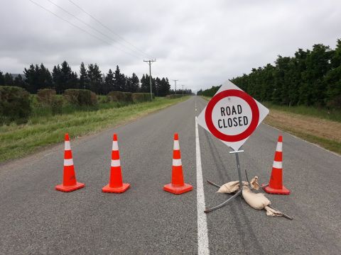
Road Closures
Current Road Closures
The table below shows details of current and upcoming road closures in the Ashburton District.
9 results found:
- Harrison Street, From Roundabout to #8 Harrison Street.
- Oak Grove, From Roundabout to #105 Oak Grove.
- Belt Road, From Roundabout to #8 Belt Road.
- Walnut Avenue, From Roundabout to #17 Walnut Avenue.
Springfield Road West closed, between Dip Road and Ashburton River Road.
New stock underpass installation for a private client
Ashburton River Road - Thompsons Track - Dip Road - Springfield Road West and vice versa.
Chertsey Line Road closed, between State Highway 1 and Waddells Road.
Closures to be in place nightly from 9pm Tuesday 7th April to 5:30am Friday 10th April
Road maintenance on the State Highway on behalf of Waka Kotahi/NZTA.
Detour routes to be deployed using Somerton Road for South bound and Mitcham Road for North bound traffic.
Baring Square East closed. Whole length. Cameron Street to Havelock Street.
Building maintenance
Access to the Council, library and café will be managed onsite.
Total Intersection Closure
Heavy road maintenance
Cavendish Street - Middle Road - Creek Road - Walnut Avenue and vice versa
David Street closed, between #49 David Street to #5 David Street
Water main installations
Local restrictions apply
Seafield Road closed, between Stanley Road and Christys Road.
Road maintenance works
Fairfield Road - Singletree Road or Stanley Road and vice versa
Fairfield Road, between Company Road and Singletree Road
Heavy road maintenance
Singletree Road - Seafield Road - Company Road and vice versa
Heavy vehicle detour north to SH1:
Singletree Road - Chertsey Road - Wards Road - Chertsey Kyle Road (to get to SH1)
Catherine Street closed, from McMurdo Street intersection to Archibald Street (SH1)
Wastewater renewals
Local restrictions apply.
Trevors Road, from Ealing Montalto Road to Boltons Road and Trevors Road, from Boltons Road to Cracroft Maronan Road.
Heavy road maintenance
Ealing Montalto Road - Cracroft Maronan Road and vice versa
Live Road Closures Map
Click on the link below to open our live and interactive road closures map with details of current and upcoming closures in the Ashburton District:
http://ashburtondc.govt.nz/road-closure-map
Click here to open the interactive Road Closures Map
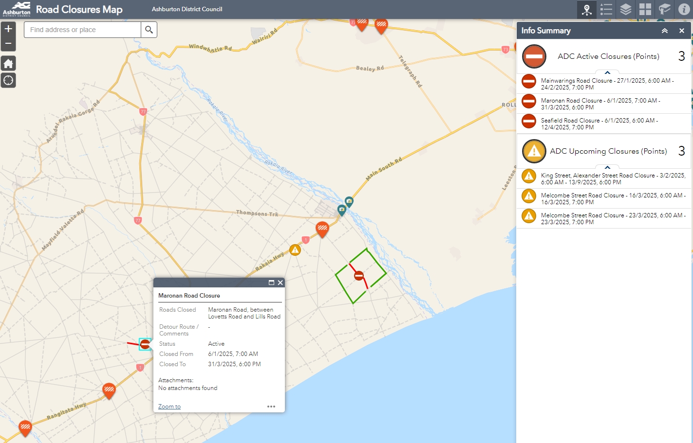
This map also pulls through any closures advertised on the NZTA Journey Planner website and allows for live screenshots from the NZTA traffic cameras throughout the country.