Risks We Face
Local Hazards
A hazard is defined as an event, either natural or man-made which may occur within the district and which is capable of causing loss of life, casualties or widespread distress to the public or place public safety at risk. There are many possible causes which could threaten the district.
Earthquake
Any major seismic activity along the Alpine Fault would create difficulties over the whole district with probable loss of power, telephone, and disruption to public utilities in the built up areas of Ashburton, Methven and Rakaia, and also in the smaller communities of Mt Somers, Mayfield, Hinds, Fairton and Chertsey.
If a major earthquake was to strike the district, access to the Ashburton and Rakaia Gorges could be restricted due to road damage.
Project AF8
Project AF8 (Alpine Fault Magnitude 8), is an initiative that plans for any future Apline Fault earthquakes using thorough earthquake source, expression and consequences science.
While we can't
Watch a presentation from University of Canterbury Associate Professor Tom Wilson on the science behind this prediction and what it will mean for Canterbury and the wider South Island.
Flooding
The major flood threat in the District is to Ashburton township and would result from a stopbank breach on the North Branch of the Ashburton River in the area adjacent to Digby's Bridge. Recent studies conducted by Environment Canterbury indicate this could happen during a 200-year flood event in that river. Other flooding of Tinwald and Hampstead could result from stopbank overtopping or breaching on the main branch of the river adjacent to the town.
Surface flooding in various parts of Ashburton has occurred recently as a result of localised high intensity rainfall. The township of Hinds and farmland adjacent to the Hinds River have been subject to surface flooding in recent times due to overtopping of stopbanks in what has been estimated at a 1 in 20 year event in the Hinds River.
The reach in the North Branch of the Ashburton River between Shearers Crossing and Thompsons Track Bridge has experienced a continuing build up of shingle to a level where the river bed, in places, is higher than the adjacent farm land. This section of the river poses a very high flood risk to those properties downstream.
The South Rakaia Huts are in a high flood risk area and may be made uninhabitable through natural changes in the river flow paths.
Click here to view interactive flood risk maps provided by Environment Canterbury Regional Council.
Tsunami
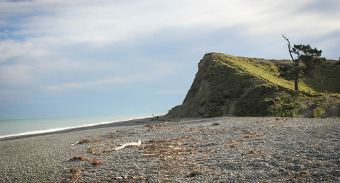
Tsunamis arrive at the New Zealand coastline at irregular intervals and are generated by submarine seismic activity occurring in waters close to New Zealand or in remote parts of the Pacific Ocean. As a tsunami enters the shoaling water of coastlines in its path, the velocity of its waves diminish and wave height increases. It is in shallow waters that tsunamis become a threat to life and property, and wave heights of up to 4 metres could be expected to strike the Mid Canterbury coastline.
Devastating tsunamis have occurred in various parts of the Pacific Ocean with wave heights in excess of 35 metres.
Tsunamis are a threat along the coastline of Ashburton district, and in particular to the river mouth settlement areas. For more information about our district's Tsunami risk visit the Environment Canterbury website
Wind storm
Very high winds are experienced over the region from time to time. While the normal emergency services can usually deal with these occurrences, experience has shown that assistance from Civil Defence may be required.
Deployment of selected Civil Defence resources in a 'non declaration' but supportive role has been necessary on one occasion in the last 10 years.
Fire
The area is subject to a very high fire risk during the dry summer season and fire control measures during this period are the norm. A fire started by natural or accidental causes during a strong nor'west wind could be very difficult to control and Civil Defence resources may be required to assist the Rural Fire Authority.
Snow
Most of the district is subject to severe snow storms from time to time. They may cause disruption to telephones, power supply, road and rail traffic and the isolation of townships for several days.
Deployment of selected Civil Defence resources in a 'non declaration' but supportive role has been necessary on three occasions in the last 10 years.
Height above sea level in our district

This map is indicative only. Please refer to the District Interactive Map for more detailed information.
Technological Emergencies
The possibility of air crash, rail crash, hazardous chemical spillage, LPG incidents, water supply contamination or a combination exists.
Hazardous substances such as fossil fuels, bulk LPG, bulk resins, dairy products and dangerous goods are transported through the district by rail and road. Accidents with these substances have occurred over the years.