banner image

Towns

Ashburton

​​​Central Hub of Ashburton District

Ashburton is the humming central hub of the Ashburton District.  With a population of approximately 18,000 it is the main commercial and service centre for the surrounding farming district.

Located on State Highway 1, Ashburton is both well positioned and accessible for residents and visitors to the district.   Ashburton has strong financial and legal services as well as other business support such as engineering, automotive and agricultural machinery and goods.

With a large range of retail, dining and recreation options, Ashburton is a blend of modern day vibrancy and rural-town friendliness.

In 2012 Ashburton was crowned the "Co-operative Capital of New Zealand" for having more co-operative companies operating than anywhere else in New Zealand.  Ashburton is a fast growing town keeping pace with an equally fast growing district.


Methven

About Methven

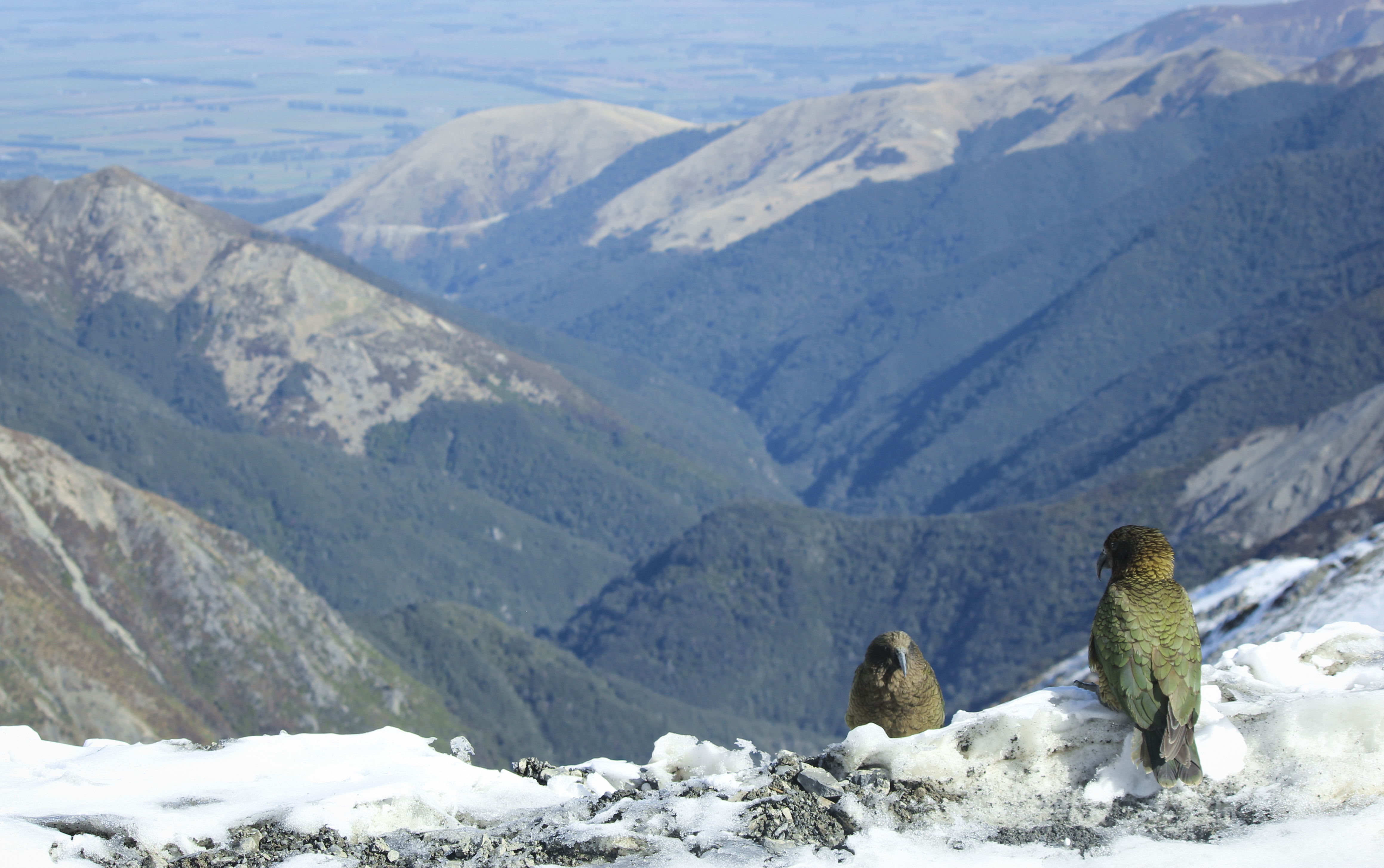
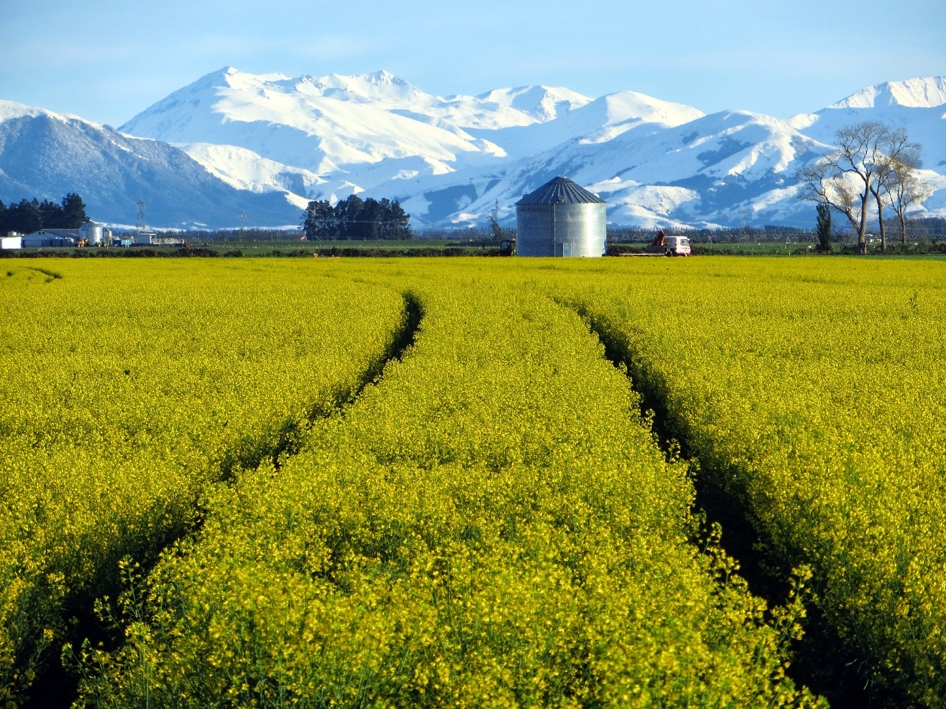
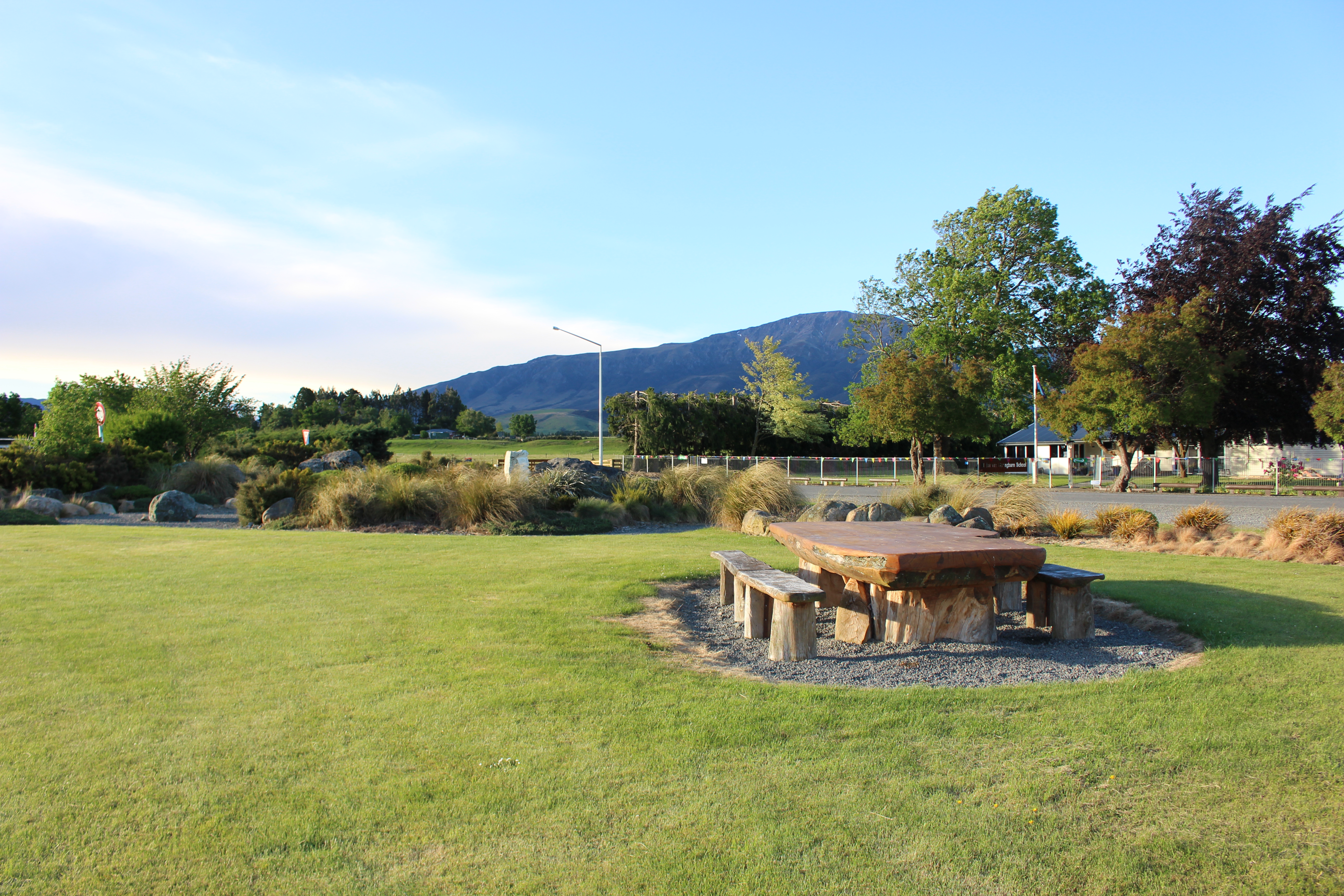
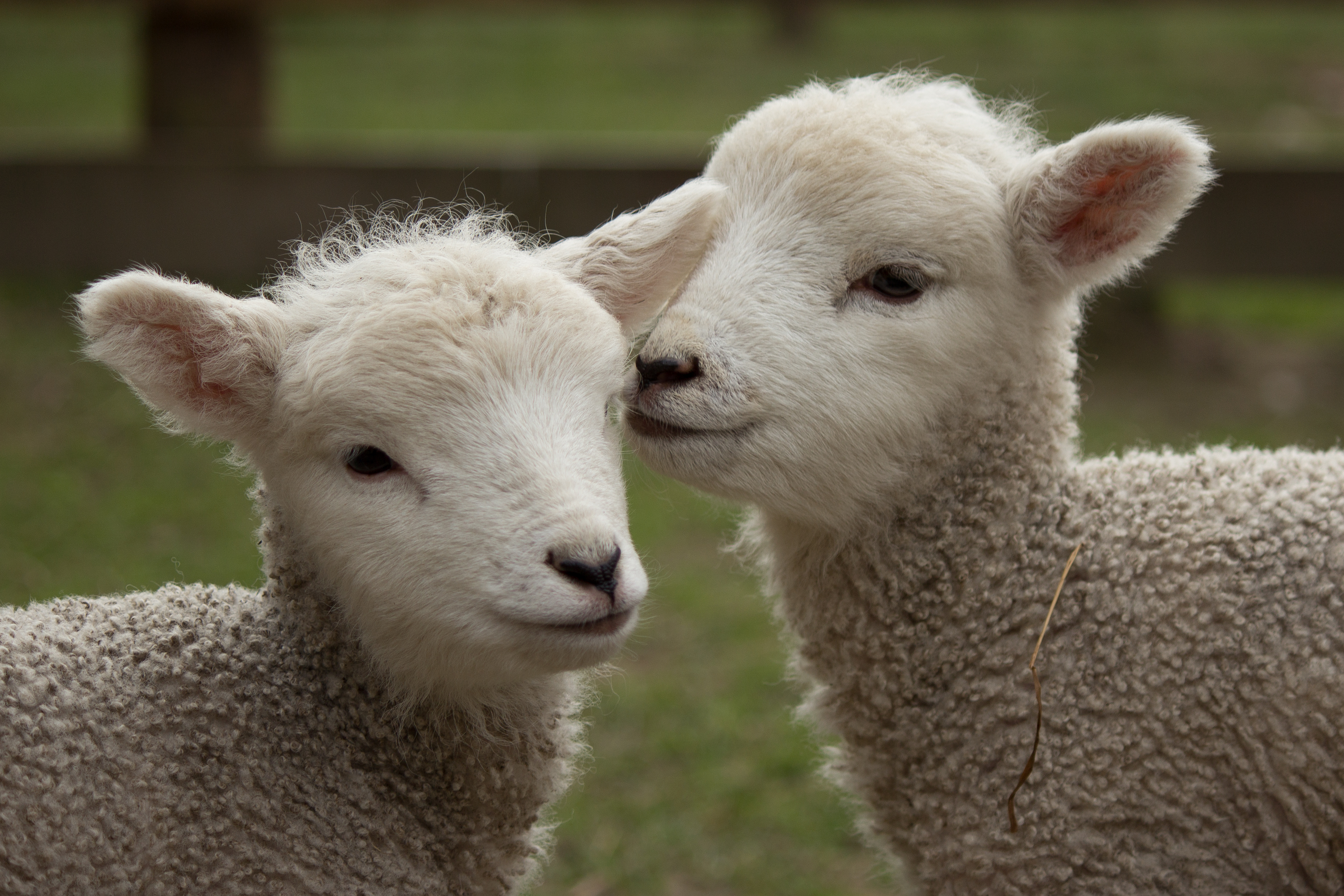
Located at the base of the Southern Alps, Methven is an agricultural service centre and ski village. It has a large agricultural community while also being  the gateway to Mount Hutt skifield and other adventure tourism hot spots.

Methven has a permanent population of around 1,600 but each year this swells significantly over winter when a significant number of visitors hit town for the ski season.

Methven has the fastest rate of population growth of any town in Ashburton District with people attracted by the lifestyle and the proximity to the picturesque foothills and high country.

At present, tourism in Methven remains largely seasonal but Methven residents aim to make it an all-year-round tourist destination by developing  summer tourist attractions.

Methven Community Strategic Plan

Ashburton District Council worked with the Methven community to produce the Methven Community Strategic
Plan 2009. The plan provides Methven with a 'roadmap' for the community's direction and development for the
ten year period.

The strategy builds on the previous plan, developed in 1997, which proved to be a resounding success with most of the actions achieved. An example of a project undertaken as a result of this is the design and redevelopment of Main Street.

View the Methven Strategic Plan

Methven Strategic Plan Stocktake

A report detailing progress made to date on the actions in the Methven Community Strategic Plan has been produced, highlighting what has been achieved to date and what can be prioritised for action going forward.

Members of the Methven community attended a 'Fun Day' on 8 February 2015, hosted by the Methven Community Board, where they could help contribute to the stocktake. People were able to provide additions to the plan for the board to consider in an interactive post it board. This along with the bouncy castle proved a hit with the younger participants.

Other community organisations also attended included Methven House and Neighbourhood Support, who had a map of Methven streets where the organisation was present.

The day culminated with the unveiling of the 'Raj the Dog' sculpture by artist David Marshall and a shared
afternoon tea.

View the progress report.

For further information please contact Council by email or phone (03) 307 7700.


Rakaia

About Rakaia

Rakaia is located on the south bank of the Rakaia River and is the northern gateway to Ashburton District. With a population of 1,200, Rakaia is a quickly developing region.

A rural servicing town, Rakaia has a growing industrial commercial base with innovative engineering firms specialising in agricultural and marine products. Rakaia is widely known as the 'Salmon Capital' of New Zealand due to the salmon and trout able to be caught in the Rakaia River.

The wide braided river bed offers some of the best jet boating opportunities in the world. Its surrounding farm land is known as being fertile and productive.

Rakaia Community Strategic Plan

The Rakaia Community Strategic Plan has been developed by the Rakaia community through a process facilitated by the Ashburton District Council. The Plan provides Rakaia with a 'roadmap' for the community's direction and development for the next ten years.

The 2009 strategy builds on the success of the previous plan, developed in 2001. The original plan proved to be a resounding success with most of the actions achieved.

View the Rakaia Strategic Plan

For further information please contact Council by email or phone (03) 307 7700.


Mayfield

​​​​​​​​​​​​​​​​About Mayfield

Mayfield is located about 35km from Ashburton on the Inland Scenic Route that runs through Mid Canterbury. Mayfield has a population of around 200 people, with the majority of residents involved either directly or indirectly in the farming sector.

Nestled in a unique environment on the Canterbury Plains near the Southern Alps, Mayfield  benefits from the remarkable landscapes surrounding it.

The community can trace its roots back to 1879 when the first post office was established.

The Mayfield district has, like other parts of Ashburton District, experienced significant changes in land use in recent years - particularly with a shift to dairying and specialised cropping.  The increase in dairying has boosted the rural population, with more people living on farms, many of whom live in the district for a relatively short period (1 – 3 years) before moving to their next position.

The community is well-served with a rural fire unit, church, primary school, St Johns ambulance service, Domain sports fields, memorial hall and many sports and recreation groups that cater to a variety of ages and interests.

​​Mayfield Community Strategic Plan

The Mayfield Plan has been developed by the Mayfield community itself, guided by an independent facilitator and supported by Council staff. The Plan sets out what the residents of Mayfield want their village to be and how the local community can work together to achieve their goals over the next five to ten years.

This provides the Mayfield community,  Council and other key stakeholders with a structure and focus for the future of Mayfield.

View the Mayfield Strategic Plan 

For further information please contact Council's Community Planning team by email or phone (03) 307 7700.


Mt Somers

​​​​​​​​​​​​​​​​​​​​​​​​​​​​​​​​​​​​​​​​​​​​​​​​​​​​​​About Mt Somers

Mount Somers village is situated on the upper Mid Canterbury plains. The district is bounded in the south by Surrey Hills, to the west by the Upper Rangitata River and the Mount Somers mountain (1,600 metres) – from which the district takes its name.

Development of Mount Somers began in 1856, firstly with the development of large sheep runs followed soon after with the discovery of coal and limestone. A tramway was developed to the mines in 1882 which connected to the main at Tinwald. Coal and limestone are still quarried today, along with silica sand and kaolin clay.

The village quickly evolved, servicing farmers, miners, shearers and transport operators while also supporting blacksmiths, supply stores, accommodation and other businesses and community services.

As agriculture diversified, the area continued to prosper as farming options such as cattle, deer, cropping and more recently, dairying, have widened.

The village is the gateway to the beautiful scenery of the Ashburton Gorge, Maori Lakes and on to Lake Heron, Lake Clearwater, Lake Camp and the Rakaia and Rangitata Gorges. Also close by are the Mt Somers walkway and the stunning Sharplin Falls. ​To learn more, visit Experience Mid Canterbury

In 2003 Council developed a Community Plan for the Mt Somers township. You can read the details here: Mt Somers Community Plan


Hinds

About Hinds

Hinds is a rural village located on the Canterbury Plains on the south bank of the Hinds River. Hinds has a population of about 250 but the wider Hinds area has a population of around 4,000 living on farms.

Situated on State Highway 1 – the main road stretching the length of the South Island - Hinds is a popular stop-off point for people travelling the road.

Hinds is a typical rural village servicing the surrounding area, with a primary school and play centre, village shop, two churches, tavern, community centre, domain to cater for sports and recreation, and swimming baths.