Second Ashburton Bridge: Update on trial pile
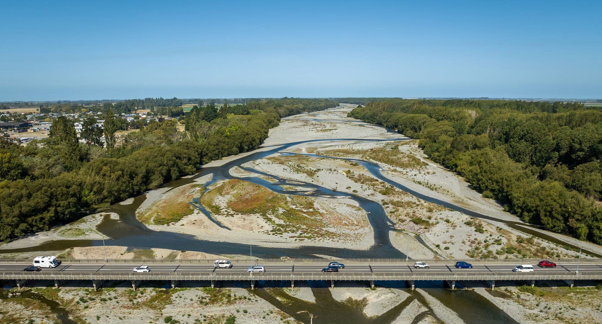
The existing State Highway 1 bridge over the Ashburton River.
NZTA Project update 4 November 2025
We’re getting ready to install a ‘trial pile’ near the Ashburton/Hakatere River as part of early works for the Second Ashburton Bridge. This test helps us understand how the ground behaves so we can design the right foundations to safely support the new bridge.
Updated timing
Due to recent wet weather and the later arrival of the crane, we’ve had to shift the start date for the trial pile work. This is now expected to begin on or around Monday 10 November 2025 and will take about a week to complete.
What to expect
The work will involve driving a large steel pipe into the ground using a crane-mounted hammer. This part of the process will be noisy at times, especially when the steel plug is hammered into place. We’ll work to minimise disruption and avoid starting the louder work before 8am. More details can be found in our recent start works notice.
Trial pile enabling works
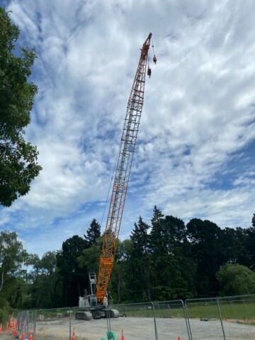
Crews have made good progress on the trial pile site. Over the last week or so they have been removing trees, setting up fencing and building the gravel pad for the large crane to sit on. Most of the wood from the trees that were removed has been donated to the Ashburton Scout Group.
The 100 tonne crane (in the photograph) and other equipment are arriving on-site this week (4/5 November) and the team will start setting up and preparing for the trial pile work.
Design work progressing
Over the coming months, you’ll see more activity around the project area as our team carries out testing and investigations that will help refine the final design and help us decide on construction staging. That means you might notice people carrying out:
- Geotechnical testing – small-scale ground sampling near the river and nearby roads.
- Tree assessments – checking which trees may need to be removed for safety or access and looking at planting.
- Surveying and mapping – to confirm the bridge alignment and key features. This work sometimes involves using drones equipped with LiDAR (Light Detection and Ranging), which uses laser pulses to create highly accurate 3D maps of the land surface, even through vegetation.
- Environmental checks – reviewing stopbanks, water flow, and ecological features.
This work is within the designated project area and will be carried out with care and minimal disruption.
We’ll continue to keep you updated as the project progresses.
Thank you for your patience and support.
Ngā mihi/Kind regards, the 2AB project team
Visit nzta.govt.nz/2AB to learn more or subscribe to updates
Share this article
Latest News
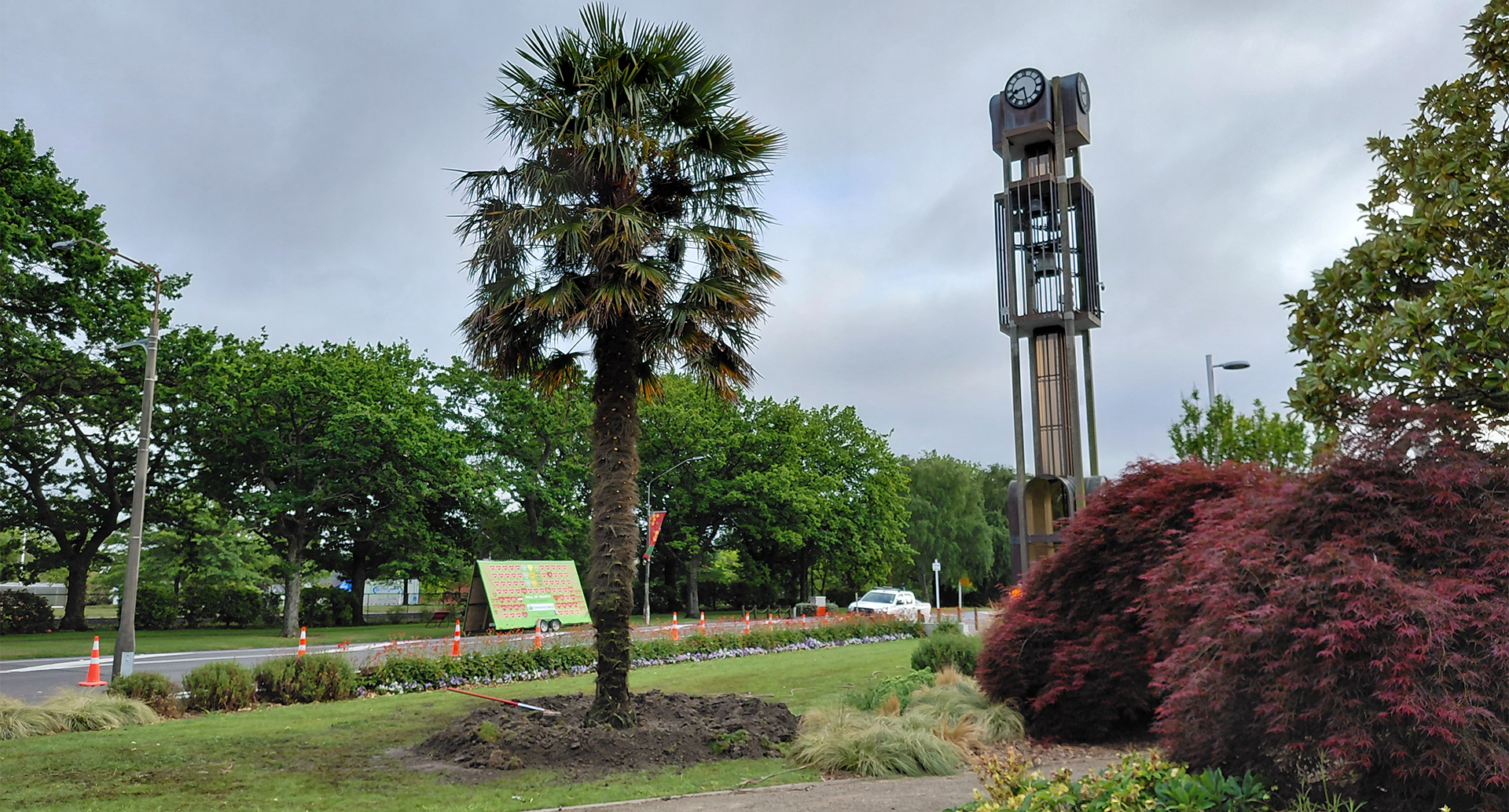
Windmill palm replaced in Baring Square East
Second Ashburton Bridge: Update on trial pile
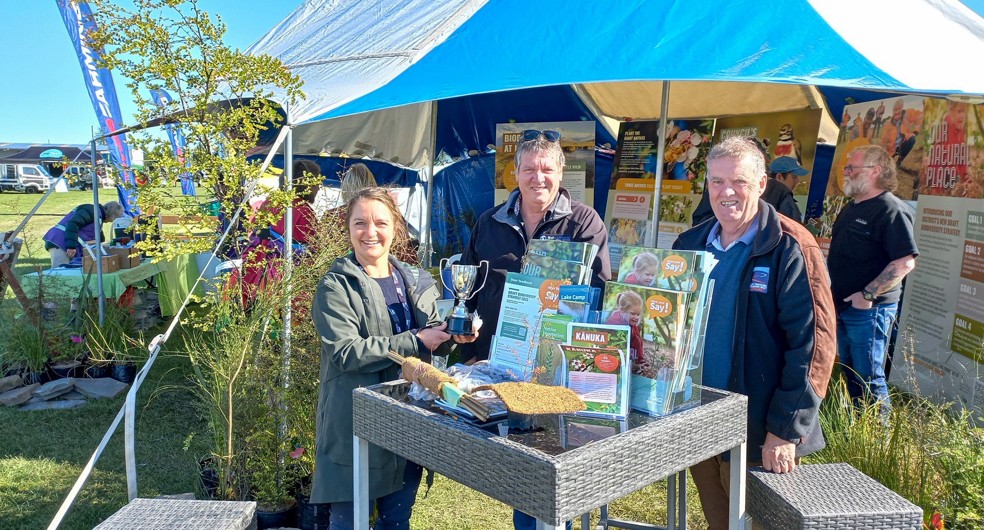
Consider the Flowers: Celebrating the life and work of Margaret Trolove
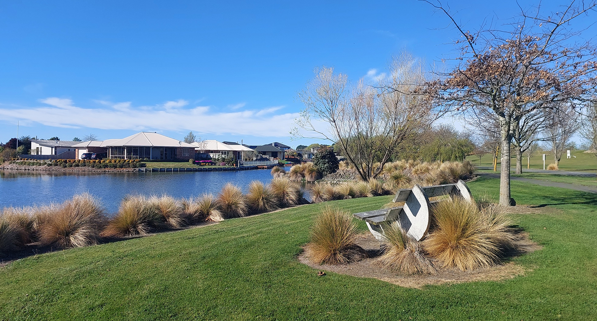
Lake Hood water update: Trial areas to be created
Keep your pets safe during fireworks celebrations
Road Closures
BARNSWOOD ROAD
from 5 Nov 7:00 to 7 Nov 18:00
BURNETT STREET
from 10 Nov 6:00 to 12 Nov 18:00
CHALMERS AVENUE
from 30 Oct 7:00 to 4 Dec 18:00
CHALMERS AVENUE
from 20 Oct 7:00 to 21 Nov 18:00
SAUNDERS ROAD
from 25 Nov 6:00 to 12 Dec 18:00
View all Road Closures | Live map