Civil Defence monitoring after heavy rain warning

5.30pm, Thursday 1 May: Council roading crews are reporting mostly surface flooding after spending the day inspecting roads in the Ashburton district for damage.
Minor scouring on a few roads, including Upper Downs Road, was also seen.
Civil Defence local controller Ian Hyde said the district’s roading network appeared to have fared well enough, considering over 100mm of rain fell on the plains in 36 hours.
“We’ll have a much better idea of road damage once the surface water drains away.”
Some Methven roads affected by Dry Creek floodwaters remain closed, and the sunshine bridges across the Hinds River are also closed. Sunshine bridges are like fords, and passable in fine weather only.
Road closures are on Council’s live closure map.
Police are also reminding people to take care on roads if they needed to travel, because of the surface water and difficult driving conditions. The depth of the water is not always obvious, stopping you from seeing hazards like potholes or washouts.
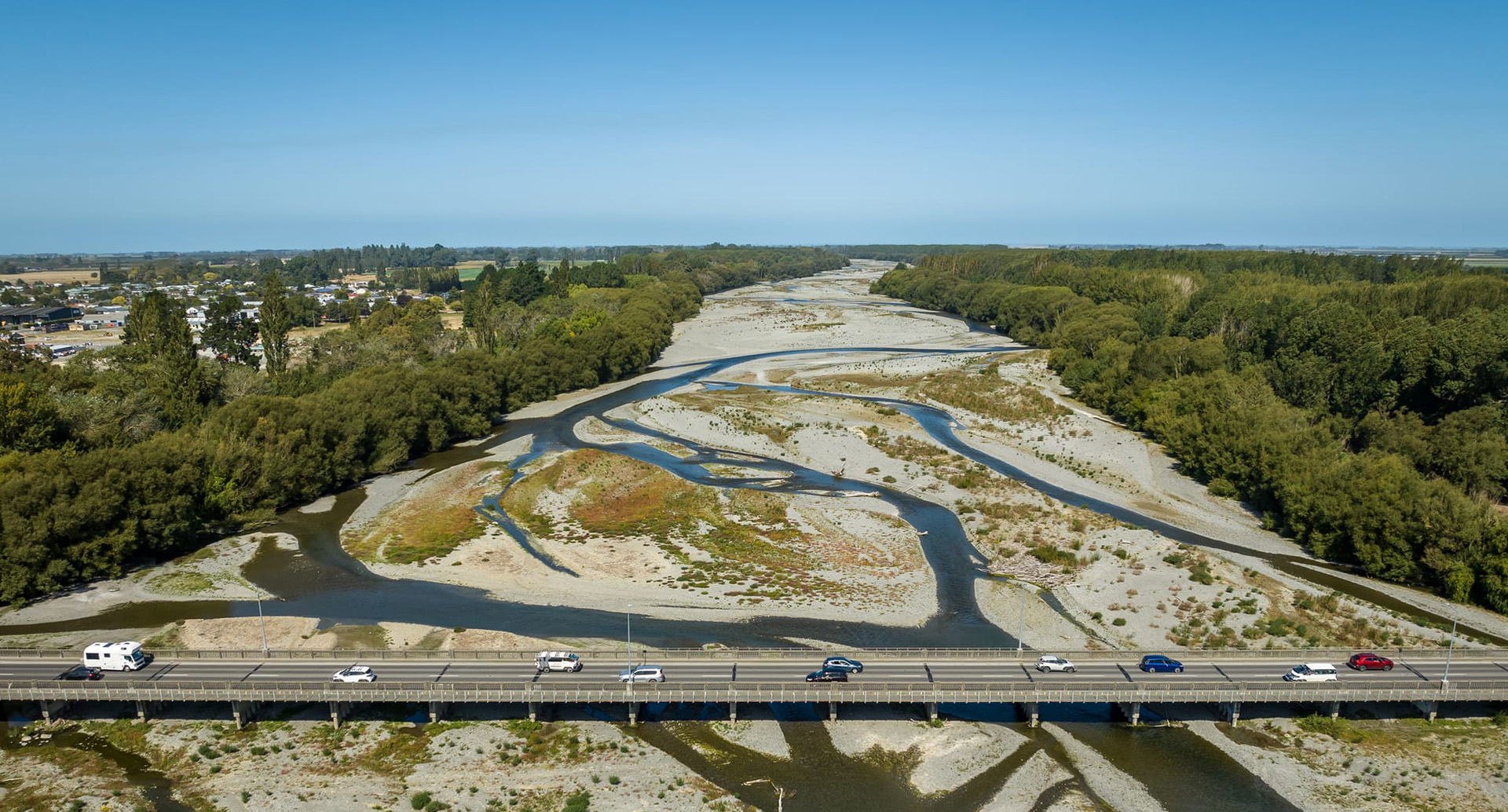
New Zealand Transport Agency has no concerns over State Highway 1 bridges in the Mid and South Canterbury area, including the Ashburton River bridge.
Highway monitoring will continue and more detailed inspections undertaken if required when river levels start to drop.
There is significant surface flooding and potholing on SH1, from Rakaia to Glenavy, and crews are out managing this. There is also significant surface flooding on SH77 Methven and Rakaia Gorge, with crews maintaining traffic management sites and monitoring.
10.45am, Thursday 1 May: The MetService is predicting another 30-60mm of rain up to 6pm tonight for Canterbury, between Amberley and Timaru, with peak rates of 10-15mm per hour, and snow to 700 metres inland.
The prolonged rainfall means surface flooding and difficult driving conditions continue. Take care if you are on the roads as the depth of the water is not always obvious, stopping you from seeing hazards like potholes or washouts.
NZ Transport Agency is monitoring the state highways, Potholes will make for a slower journey between Rakaia and Glenavy on SH1 and five crews are working hard today and tomorrow, expect to see temporary speed limits around sites of deep potholes.
Minor flooding on SH77 at the Rakaia Gorge, drivers need to slow down and expect a slower journey.
See highway updates on NZTA's journey planner here.
8.20am, Thursday 1 May: After a wet night, Ashburton District Council road crews are out checking on the state of the network and asking people to take care with widespread surface flooding across the district.
There are no current concerns for bridges over State Highway 1, but NZ Transport Agency is monitoring.
Environment Canterbury had updated its flood advisory, but the main impact remains north of the Rakaia at this time.
Sunshine bridges over the Hinds River are washed out, and several roads near Methven have been flooded by Dry Creek and are closed. You can view our live road closure map to see the details.
If you come across an issue on our roads, please let us know by phoning Customer Services on 307-7700.
9pm, Wednesday 30 April: MetService has issued their updated forecast for the evening.
According to the forecast, the district can expect 80 to 100 mm of rain, on top of what has already fallen. Peak rates of 10 to 20 mm/h. Snow lowering to 700 metres tonight - view District Elevation map.
There remains a moderate chance of upgrading to a Red Warning and Civil Defence encourages residents to stay up to date with the latest warnings on the MetService website.
Environment Canterbury (ECan) has issued a flood warning but the most significant flood flows are expected in the foothill rivers and streams of the Waimakariri, Hurunui, and Kaikoura districts. No significant out-of-river flooding is currently expected in the Ashburton District, however Environment Canterbury staff are continuing to monitor the situation.
2.30pm, Wednesday 30 April: Barkers Road at Methven is closed because of flooding at Dry Creek, and Dobson Street West in Ashburton is also closed because of flooding. See below for details.
12pm, Wednesday 30 April: Ashburton Civil Defence Emergency Management is monitoring conditions and advising people to stay up to date with the latest forecasts after MetService issued an orange Heavy Rain Warning for Mid Canterbury.
With the heavy rain, streams and rivers may rise rapidly and surface flooding, slips, and difficult driving conditions are possible.
What you can do:
- Avoid low-lying areas and drive cautiously.
- Avoid non-essential travel if conditions deteriorate.
- Clear your drains and gutters.
- Do not drive through flooding.
- Stay up to date with the latest MetService warnings.
- Call Council on (03) 307 7700 to report any issues.
Roads
Drivers are encouraged to take extra care on the roads with surface flooding and hazardous driving conditions likely in places. Any road closures can be viewed on the Council’s live road closure map.
Barkers Road at Methven is closed because of flooding at Dry Creek, and parts of Methven Chertsey Road, Lyndhurst Road and Urrall Road are closed. The sunshine bridges over the Hinds River have also been washed out.
Dobson Street West in Ashburton is also closed because of flooding - that's the road at the back of the Warehouse.
Surface flooding and potholes are being reported on State Highway 1. See highway updates on NZTA's journey planner here.
Surface water is being reported across the district and difficult driving conditions continue. Take care if you are on the roads as the depth of the water is not always obvious, stopping you from seeing hazards like potholes or washouts.
Rivers
Rivers across the Canterbury will see elevated flows, but we are not currently expecting significant out-of-river flooding in the Ashburton District. Environment Canterbury staff will continue to monitor flows and vulnerable areas of the rivers closely. Check their website for the latest river flow data.
Stockwater Network
Flows from stockwater intakes have been reduced ahead of the heavy rain and Council continues to monitor conditions across the network. Please check your own water races to ensure there's nothing that could cause blockages.
Parks & Reserves
The gates to the Bowyers Stream reserve have been locked due to very wet ground conditions and the risk of flooding with more rain forecast. The area will be opened again when weather and ground conditions allow. Visitors can still park and walk into the reserve to use the toilets which are still open.
Stay Informed
- Text your post code to 4196 for free Council text alerts.
- Use the Snap, Send, Solve app or call 03 307 7700 to report any issues to the Council.
- View the latest MetService Weather Warnings on the MetService website.
- Follow the Council and Canterbury CDEM Facebook pages for further updates.
- View our live road closure map.
Share this article
Latest News
$100,000 Lottery grant for bike skills park
Need tips from a pro for our heritage photo competition?
Watching brief on Tinwald bore
Cr Deb Gilkison: What surprised me most about joining Council
Second Ashburton Bridge: Update 18 February 2026
Road Closures
SMALLBONE DRIVE
from 15 Mar 6:00 to 15 Mar 15:00
MOORE STREET
from 3 Mar 6:00 to 6 Mar 18:00
RAILWAY TERRACE WEST
from 23 Feb 7:00 to 27 Feb 17:00
RACECOURSE ROAD (ONE-WAY)
from 25 Feb 19:00 to 26 Feb 6:00
SAUNDERS ROAD
from 23 Feb 19:00 to 24 Feb 6:00
View all Road Closures | Live map


