Council presents results of rural intersection review
The results of a review of 79 rural intersections recommended by the Coroner following a fatal crash at the intersection of Mitcham Road and Hepburns Road in 2019 were presented in a report to Ashburton District Councillors recently.
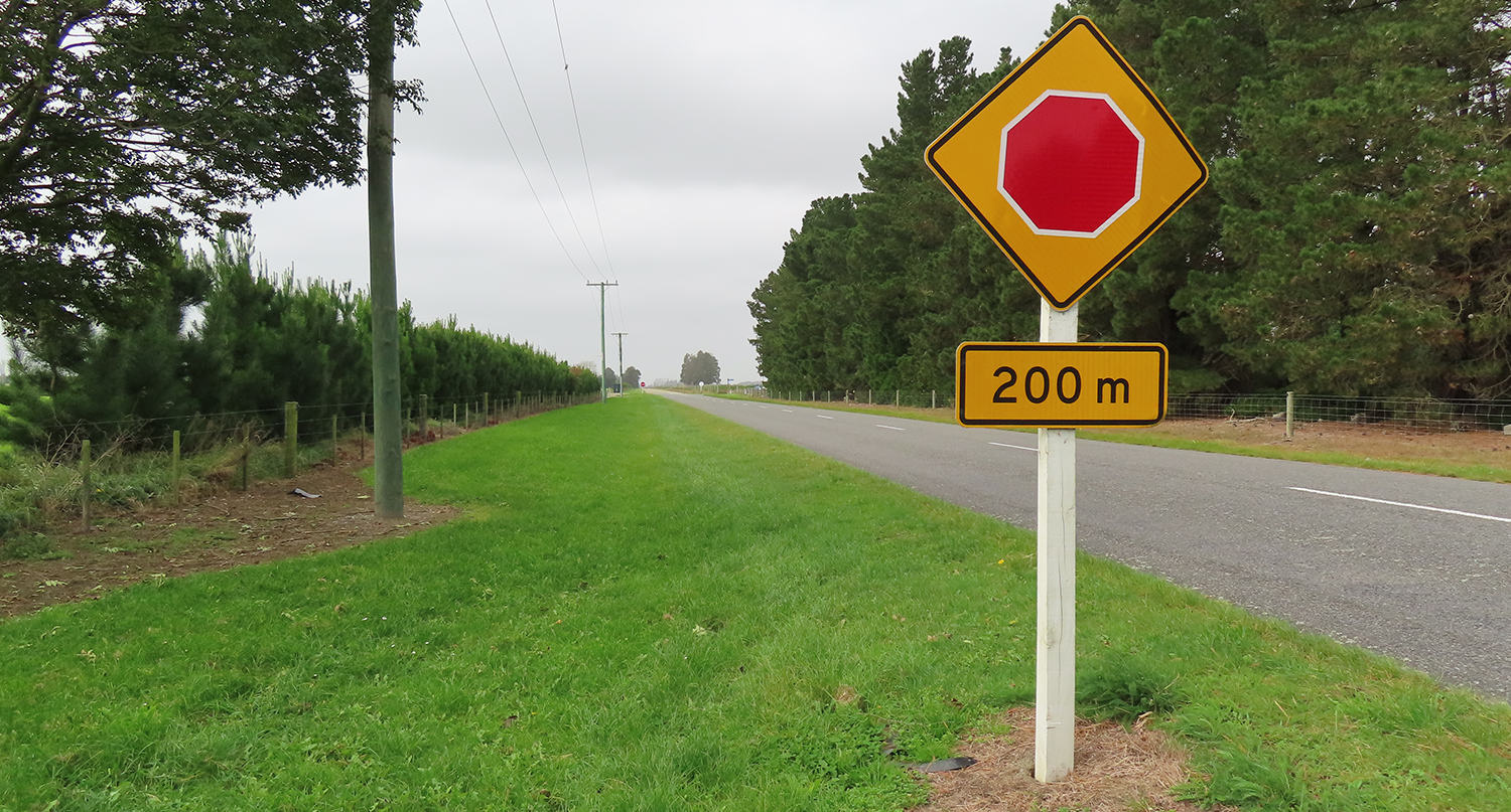
The review identified 104 road control signs that were slightly damaged, worn or vandalised, and 60 intersections where vegetation affected visibility. It found that although the intersections met road safety guidelines, improvements could be made.
Replacement of existing signs, renewal of roadmarkings and trimming of vegetation is carried out as part of normal maintenance operations, however improvements such as additional signs, new roadmarkings and central islands require additional funding as capital works.
Improvements to signs have already been carried out at the site of the crash and at five other similar rural intersections.
Council will budget for additional intersection improvements as part of the 2024-27 Long Term Plan and apply to Waka Kotahi to include them as part of the 2024-2027 Land Transport Programme funding request.
Under the District Plan, no tree may be planted within 30 metres of an intersection. Vegetation encroaching over the property boundary into the road should be cut back to the boundary.
Central islands at intersections allow additional signs to be placed in the centre of the road to give more of a visual alert to drivers; the lane widths at the intersection are increased so that tankers and truck and trailer units can easily manoeuvre through the intersection. There are 10 intersections identified that would benefit from this sort of treatment.
Infrastructure and Open Spaces Group Manager Neil McCann said the fatal accident was a tragic event and Council had accepted the coroner’s recommendation to review similar rural crossroads.
“As the roading controlling authority of the district’s roads, we are regularly reviewing our roading network and implementing additional safety features if needed.
“Ashburton District has relatively low traffic volumes across the network, and this translates to a low amount of crash data, and crash patterns, so we’ve systematically gone through these 79 intersections and looked at signs, visibility, line markings and anything else that could impede a driver’s ability to safely negotiate the intersection.”
Share this article
Latest News
Safe passage for Hampstead students
Winners announced for Zonta Ashburton Art Awards
Diggers primed for bike skills park project
Mayor Liz McMillan: Here's how the Annual Plan 2026-27 is tracking
Apply for our grants, urges Methven Community Board
Road Closures
FAIRFIELD ROAD
from 26 Jan 7:00 to 19 Apr 18:00
CATHERINE STREET
from 18 Mar 8:00 to 24 Apr 18:00
TANCRED STREET
from 23 Mar 7:00 to 27 Mar 18:00
JOHNSTONE STREET
from 16 Mar 8:00 to 17 Mar 16:00
TREVORS ROAD
from 2 Mar 7:00 to 19 Apr 19:00
View all Road Closures | Live map