Bird's eye view of the district
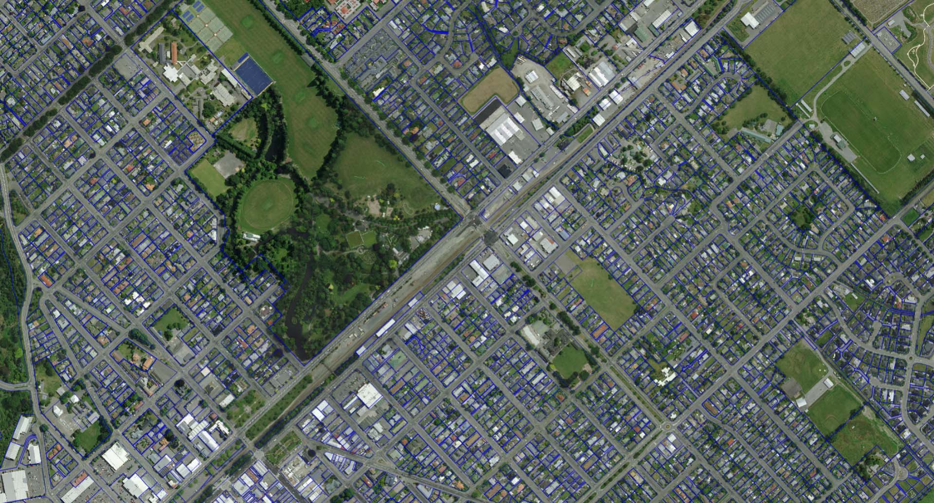
Residents now have two new vantage points to view Ashburton District. An interactive kerbside collection map and the release of the latest urban aerial imagery showing properties and landscape.
“Council provides a range of interactive maps to give residents easy access to information, from three waters utilities to road closures, population statistics and election ward boundaries”, said Group Manager Business Support Leanne Macdonald. “We’re pleased to have added two new public map features to our map gallery”.
The colour-coded kerbside collection map allows people to search for their address or scroll and zoom on the map, click their zone boundary to see their collection day and calendar. The map also contains locations and opening hours of waste recovery facilities and public caravan dump stations.
The latest urban aerial imagery was captured last summer and can be viewed alongside other property information like previous consents and property sales.
For all the maps in the gallery: Ashburton LocalMaps Gallery
For the kerbside collection map: Bin It Right Map
For the latest urban aerial imagery, view in: 3 Waters Utilities, Ashburton Property, Tsunami Evacuation Zones
Share this article
Latest News
Safe passage for Hampstead students
Winners announced for Zonta Ashburton Art Awards
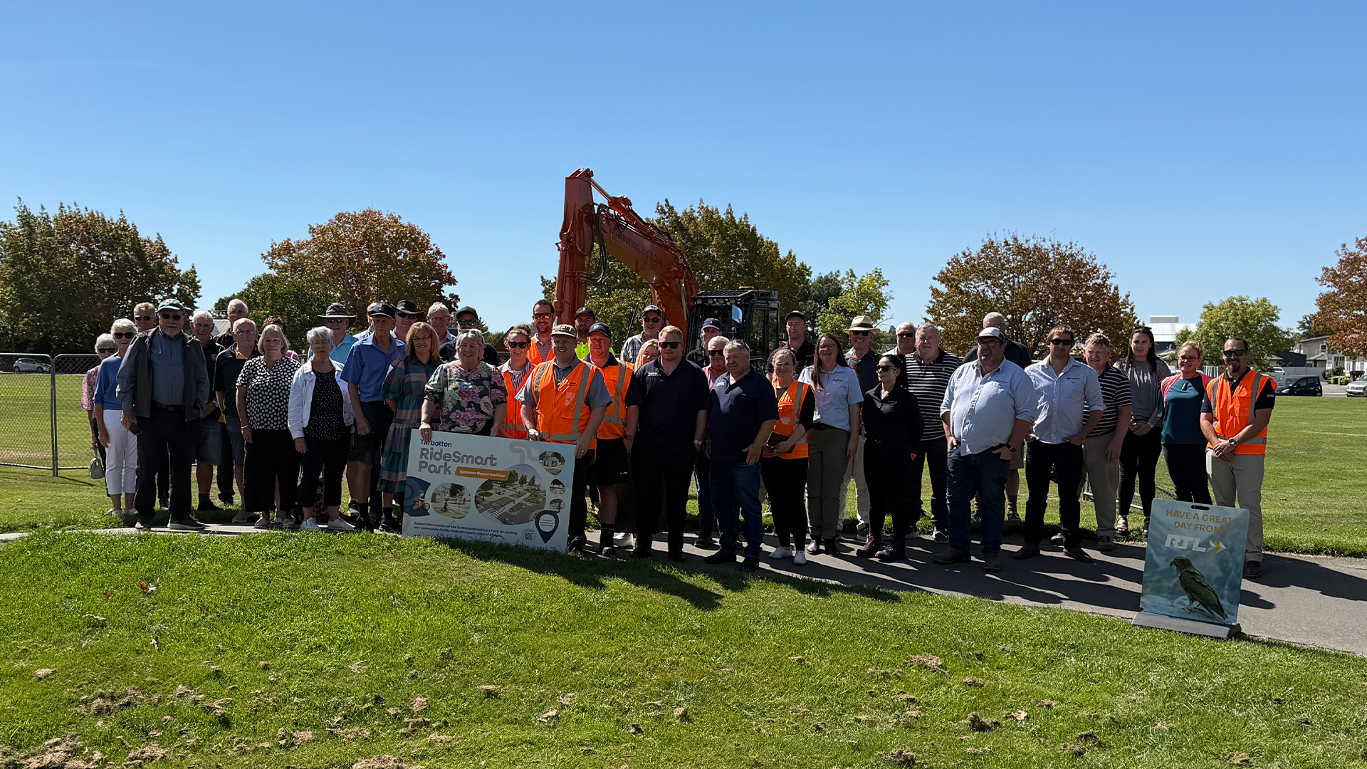
Diggers primed for bike skills park project
Mayor Liz McMillan: Here's how the Annual Plan 2026-27 is tracking
Apply for our grants, urges Methven Community Board
Road Closures
SEAFIELD ROAD
from 2 Mar 7:00 to 10 May 19:00
FAIRFIELD ROAD
from 26 Jan 7:00 to 19 Apr 18:00
CATHERINE STREET
from 18 Mar 8:00 to 24 Apr 18:00
TANCRED STREET
from 23 Mar 7:00 to 27 Mar 18:00
JOHNSTONE STREET
from 16 Mar 8:00 to 17 Mar 16:00
View all Road Closures | Live map