Live interactive map shows current and planned district-wide road works
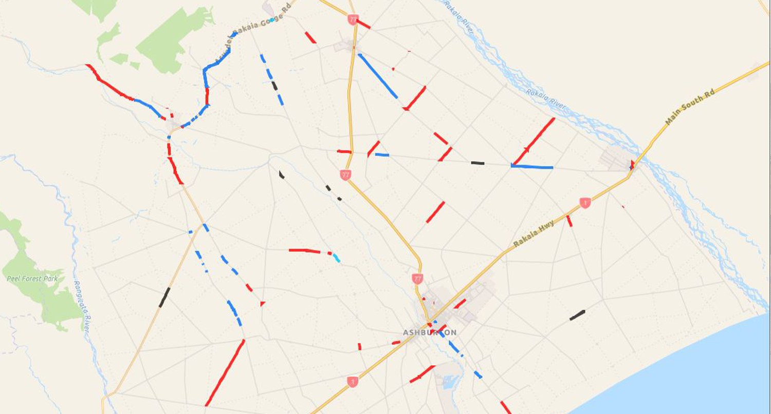
Want to know if road works are planned for your street or road during the next eight months? The information is freely available on an interactive roading map on the Ashburton District Council’s website.
The forward works programme for 2021-22 is now online and shows the locations where Council has work planned on its sealed network.
For instance, if you click on a red line that is Trevors Road, you will see that a 1003m length of the road is to be resealed this season. Additional information shows that the current seal is 18 years old and that 600 vehicles use the road a day.
A section of Line Road shows a 6.4km section is programmed for heavy maintenance. The surface is nine years old and has 429 vehicles a day.
Infrastructure Services Group Manager Neil McCann said the forward works map is part of the online information about Council’s transport and roading services.
“Ashburton District Council manages the roading network which is critical to supporting the district and getting local produce to domestic or international markets.
“We have recently focussed on repairing the significant damage caused by the flood event in May, and now we can allocate more resources to programmed maintenance and annual renewals work such as road resurfacing and road reconstruction work.”
“Six crews are now committed to complete the repair work and deliver on the programmed maintenance, which was previously undertaken by two crews.”
Council looks after 1507km of sealed roads and 1116km of unsealed roads, 181 bridges and 3136 culverts. On top of that are over 9800 traffic and street signs and 2800 street lights.
Work on the roads is funded by rates and Government, through Waka Kotahi NZTA.
On the interactive map, works are categorised as reseal, rehabilitation, heavy maintenance or water cutting.
Resealing involves overlaying the existing sealed surface with another layer of seal.
Rehabilitation involves the complete reconstruction of a section of road.
Heavy maintenance involves repairing weak sections of pavement by either digging out failures or cement stabilisation.
Watercutting involves using high-pressure water to remove excess bitumen from the surface to improve skid resistance.
Mr McCann said a section of Thompsons Track was currently being reconstructed and widened.
“This section of Thompsons Track was heavily damaged in May’s flooding event and needs to be repaired as a matter of priority.”
Rehabilitation of sealed roads is done to improve the strength of the pavement or road and the following roads have work planned: Arundel Rakaia Gorge Road, Thompsons Track, Christys Road, Ashburton Staveley Road. If funding allows, Forks Road and Valetta Westerfield Road.
Sealed roads programmed for heavy maintenance are Arundel Rakaia Gorge Road, Ashburton Gorge Road, Barford Road, Beach Road East, Blackford Road, Forks Road, Line Road, Lismore Mayfield Road, Moorhouse Road, Thompsons Track.
Share this article
Latest News
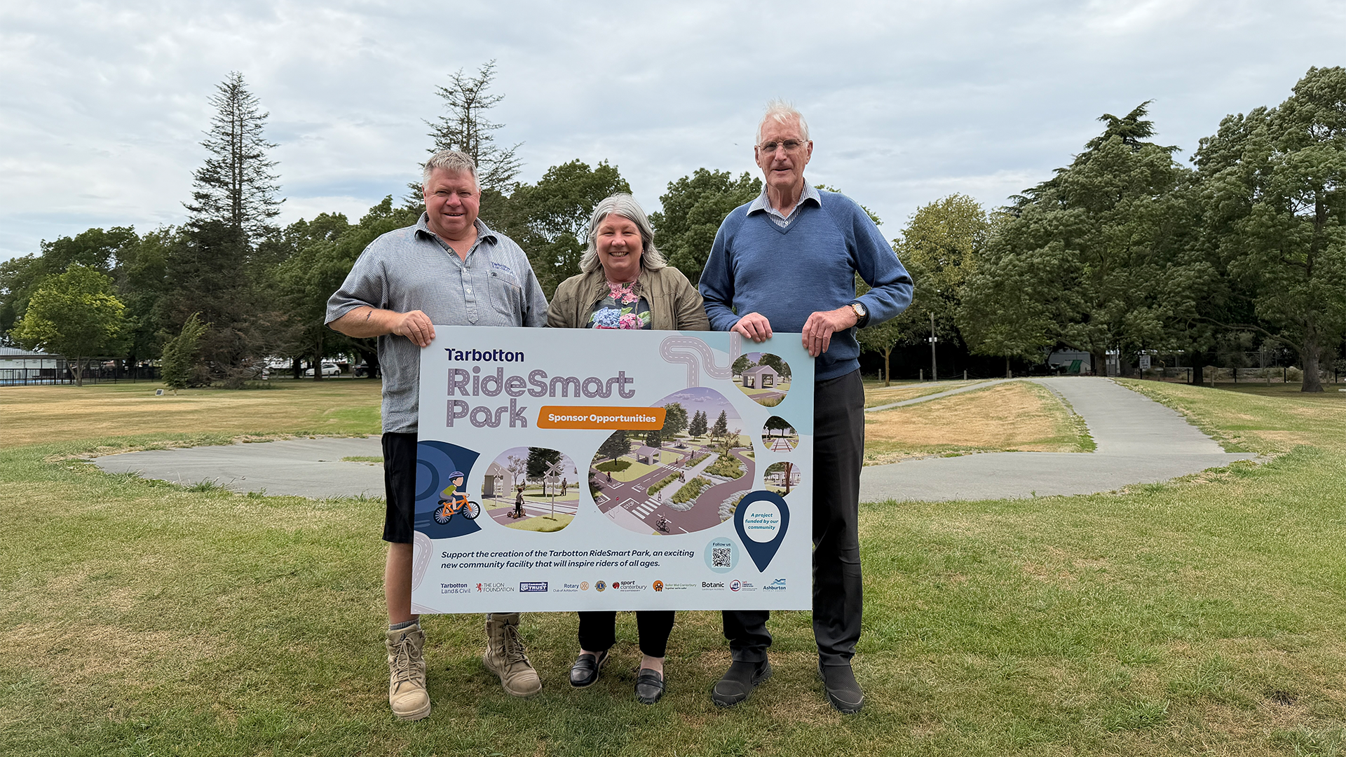
$100,000 Lottery grant for bike skills park
Need tips from a pro for our heritage photo competition?
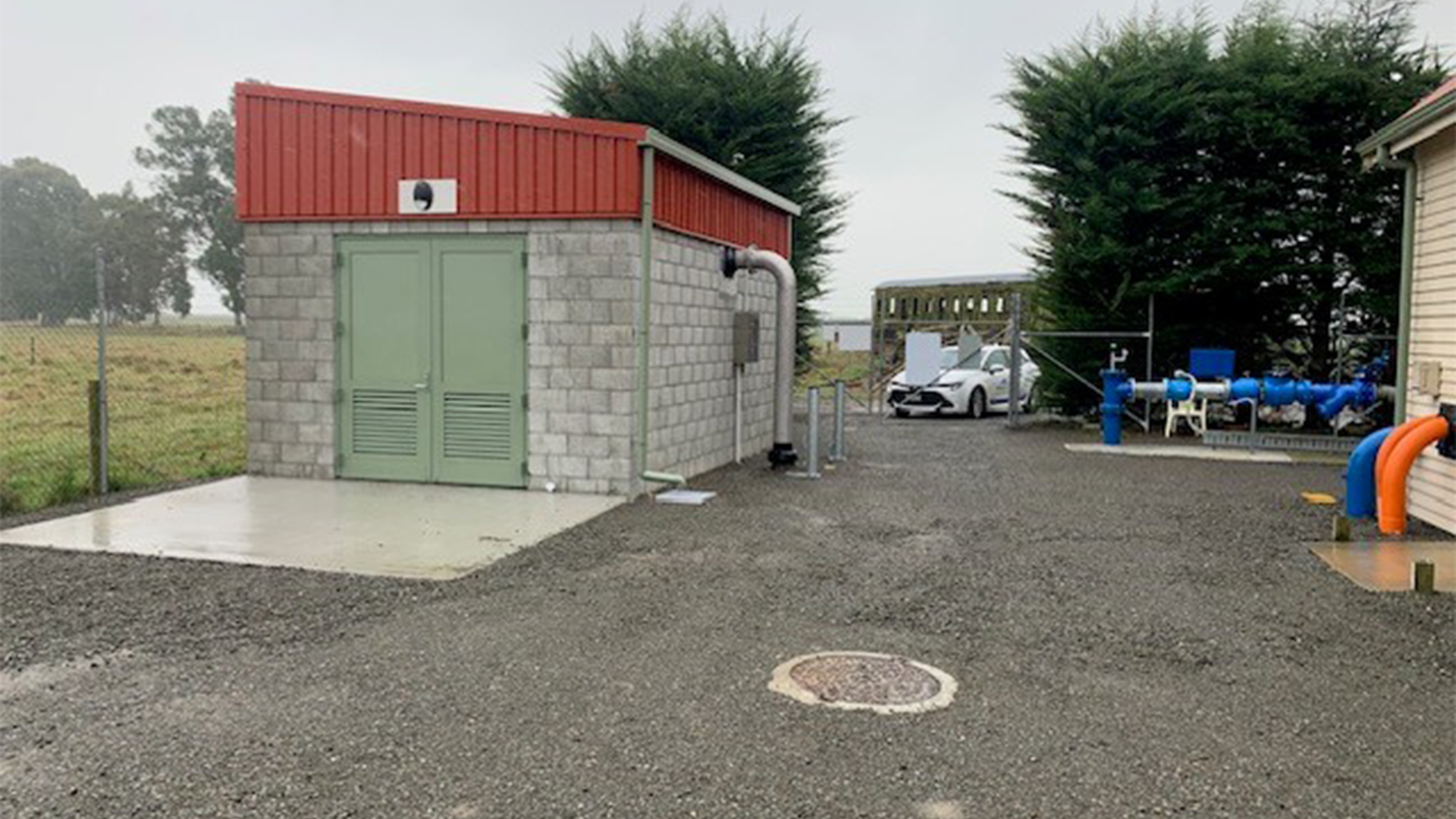
Watching brief on Tinwald bore
Cr Deb Gilkison: What surprised me most about joining Council
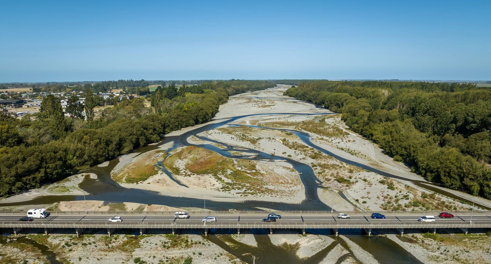
Second Ashburton Bridge: Update 18 February 2026
Road Closures
SMALLBONE DRIVE
from 15 Mar 6:00 to 15 Mar 15:00
MOORE STREET
from 3 Mar 6:00 to 6 Mar 18:00
RAILWAY TERRACE WEST
from 23 Feb 7:00 to 27 Feb 17:00
RACECOURSE ROAD (ONE-WAY)
from 25 Feb 19:00 to 26 Feb 6:00
SAUNDERS ROAD
from 23 Feb 19:00 to 24 Feb 6:00
View all Road Closures | Live map