Lake Hood water update: Lake bed survey planned 8-9 October
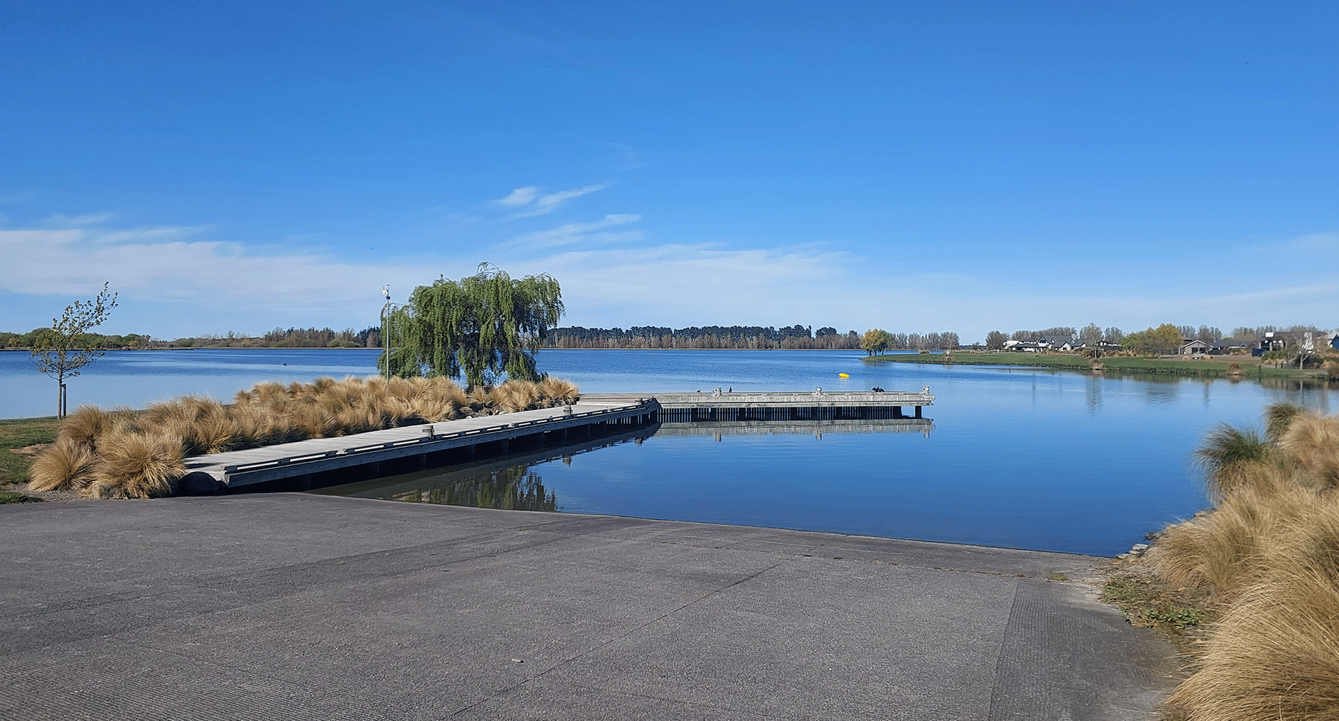
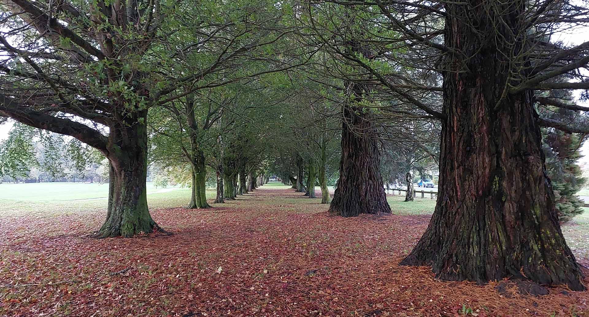
The main boat ramp at Lake Hood.
Scientists will be undertaking survey work at Lake Hood next week using LiDAR technology from a drone and gathering bathymetric (underwater terrain) data from a boat.
LiDAR technology will be used with a drone to measure distances and help create models, and the scientists say residents can expect to see the drone flying above the lake and canals on Wednesday 8 October and Thursday 9 October.
Group Manager of Infrastructure and Open Spaces Neil McCann said the LiDAR information was crucial in mapping the shape of the lake bed.
“The drone will be flying the edges of the lake and canals about 170 metres above ground and taking photos as well as collecting LiDAR information, so residents may see it.
“The boat will be used to survey the lake bed to gather data for a 3D hydrodynamic model of the lake below the water surface, which will assist the scientists to model water flows and circulation.”
The monitoring buoy installed at Lake Hood has also begun collecting data. One sensor is monitoring levels of dissolved oxygen and several sensors are recording water temperature at various depths.
The information from the equipment can be transmitted to a device using Bluetooth technology.
Mr McCann said the yellow buoy was in an area near the outlet, on the eastern side of the main lake.
“It’s close enough to the shore so it will be out of the way of power boats, and we ask that any other lake users keep away from it as it’s doing an important job.”
This week, scientists will also select five products and a couple of ultrasonic devices to trial in the canals and lake to see how they affect water quality.
Mr McCann said this pilot work might point to a method or application that could be used cost-effectively in the warmer months to mitigate algae growth.
“We expect the first stage of the trials to get under way in November, with the main site for the trials being in a canal that borders Huntingdon Avenue, just east of Lake Hood Drive.”
In other work, ACL has extended the new channel that brings water from the Ashburton River, and it now discharges further into the lake extension closer to the canals and help flush more water south, rather than into the body of the lake extension.
The weed harvester is likely to start operation in the canals later in October or November, depending on the extent of the weed growth.
Mr McCann said that the Council is determined to gain a better understanding of the lake and the particular drivers affecting the water quality, to be able to determine the most cost-effective way to mitigate the algal blooms in the warmer months of the year.
“We are committed to ensuring Lake Hood continues to be an attractive destination for the community and visitors to enjoy for the short term, as well as for the future.”
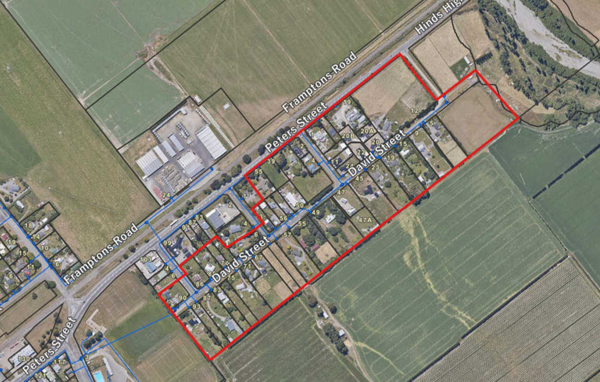
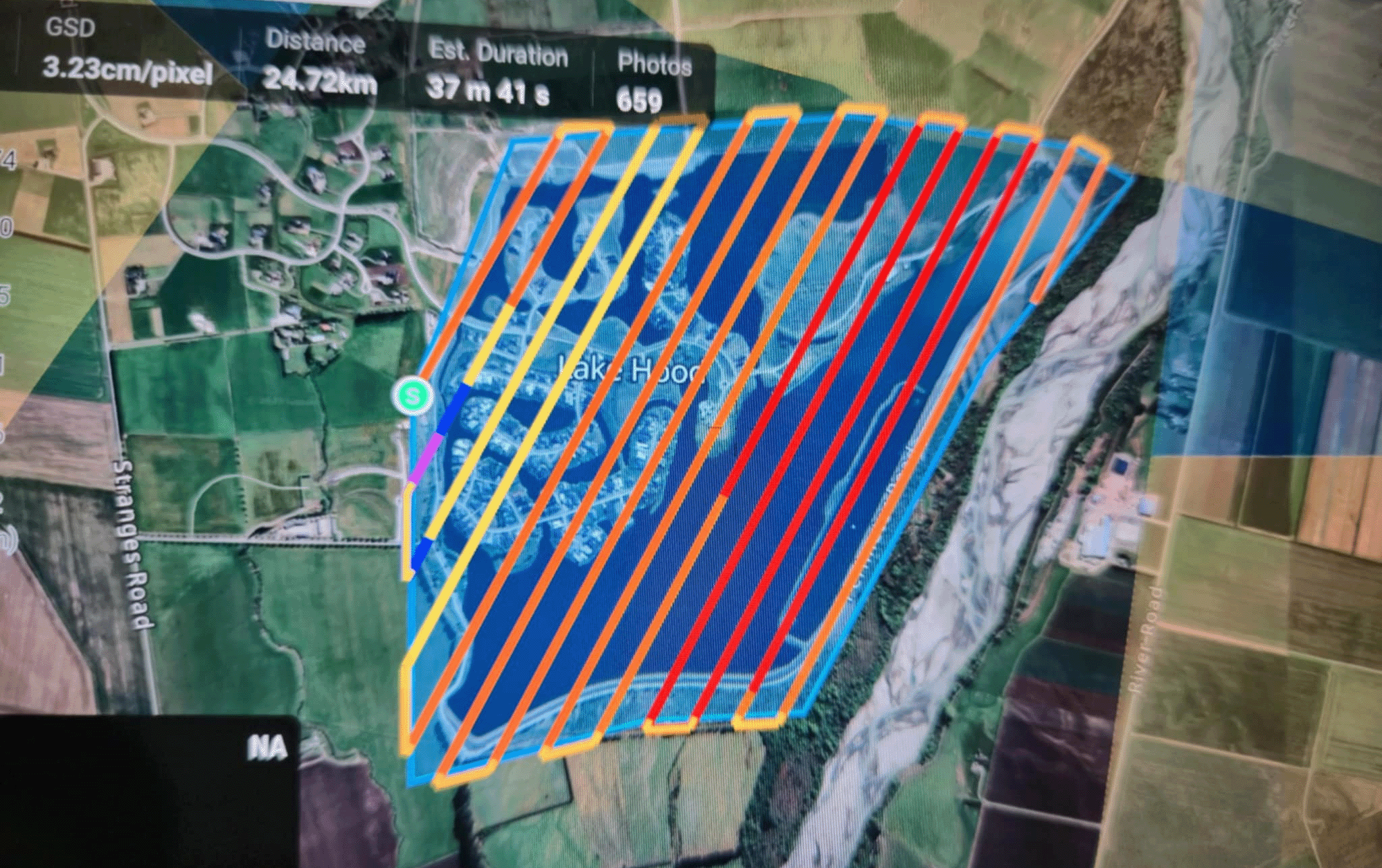
Below: The survey map scientists will use on 8 and 9 October.
Share this article
Latest News
Council services over Easter 2026
Short water shutdown planned in Hinds
Land set to be rezoned for more housing
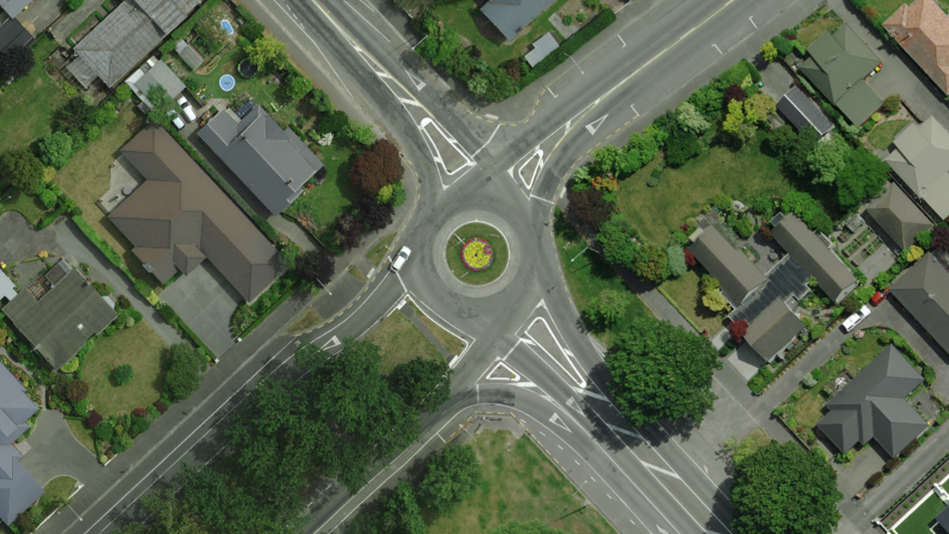
Detours planned while roundabout repaired
Mayor Liz thanks employers for backing job scheme
Road Closures
SPRINGFIELD ROAD WEST
from 7 Apr 6:00 to 20 Apr 18:00
CHERTSEY LINE ROAD
from 7 Apr 21:00 to 10 Apr 5:30
BARING SQUARE EAST
from 7 Apr 7:00 to 21 Apr 18:00
OAK GROVE - HARRISON STREET - BELT ROAD ROUNDABOUT
from 13 Apr 9:00 to 3 May 19:00
DAVID STREET
from 23 Mar 7:00 to 10 Apr 18:00
View all Road Closures | Live map