What happens in an Emergency Operations Centre?
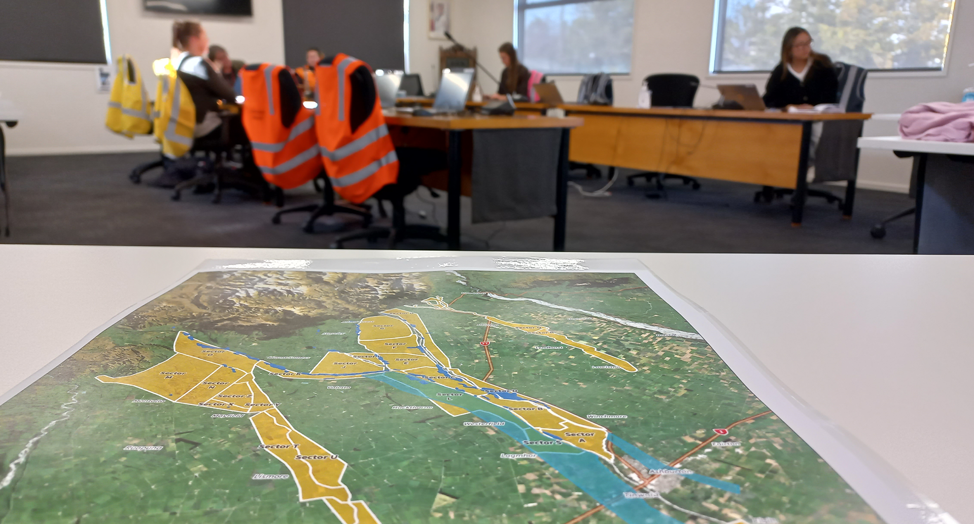
When a weather bomb drops and Civil Defence activates its emergency operations centre, a big human machine kicks into gear to deal with the response, recovery and, much later, resilience sides of the event.
Ashburton District Council’s Civil Defence teams were well prepared for this week’s weather event, having gained valuable experience during the 1-in-200 year rain event in May last year.
Three teams were rostered on in eight-hour shifts around the clock, with people responsible for operations, information, logistics and welfare. They connect with Council staff who are keeping a close eye on roads, drinking water and wastewater, and any other core service that might be at risk.
The emergency operations centre also includes representatives from Fire and Emergency NZ (FENZ), Environment Canterbury and sometimes the likes of police, St John, Mid Canterbury Rural Support and Federated Farmers, depending on the event or emergency under way.
Council Chief Executive Hamish Riach said the first response stage provided help to those who needed it and information, which was crucial to help the district’s different communities prepare and act.
“In this week’s rain event, we were able to use a lot of information gained in the 2021 flooding and see the properties that would be affected if flood waters broke out of any of our rivers.
“We were worried that new flood protection work done after the last flood was vulnerable to erosion. Luckily, this event was not as severe as in 2021, though some property owners along the river have been affected again.
“Predictably, there were also wider concerns about the safety of the State Highway 1 Ashburton River bridge, which held up well.”
Information is gathered from many sources, including Government agencies and other local authorities. Quite a lot of information is also gathered from social media, especially when people are reporting hazards and their locations; this also helps Civil Defence send specific messages and reach out to different communities.
Recovery is the next stage of the Civil Defence response and that is about restoring services, like roads, and supporting property owners access help to do the same on their land.
The resilience side of the event is more long-term and looks at what can be done in the future to help the district and its people cope better.
Much of this is about reviewing what happened and planning ahead for the next time.
Mr Riach said Council’s roading team would be out making a full assessment of roads that would need repairs in the wake of this week’s weather bomb.
Council's live map of road closures, on its website, is a valuable resource at any time.
Ashburton Civil Defence deactivated its emergency operations centre at 10am yesterday, as river levels continued to reduce.
Issues can continue to be reported to Council by phone 307-7700, email or by using the Snap Send Solve app.
Share this article
Latest News
King's Trust workshop boosts business ideas
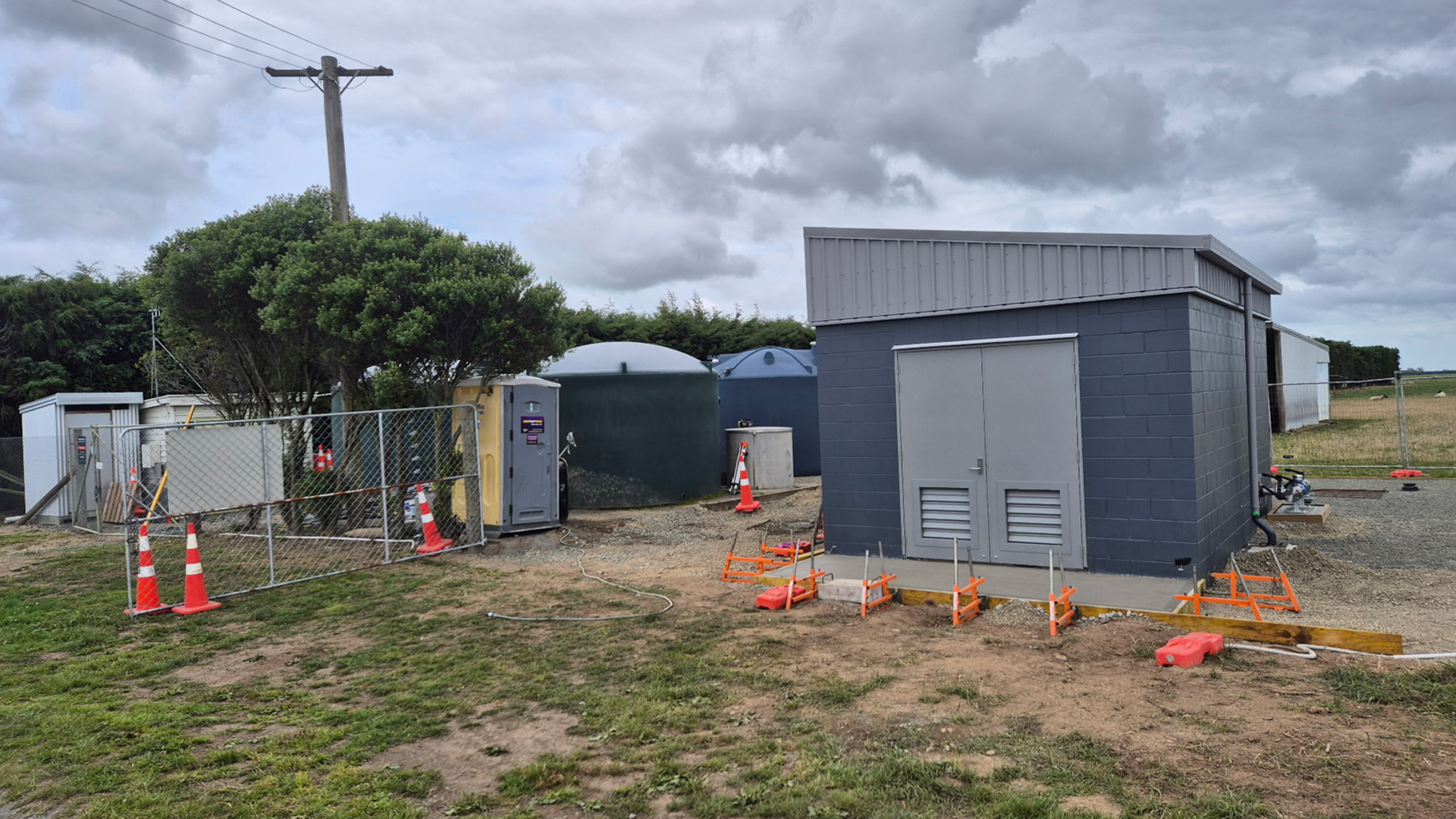
Dromore plant upgrade wraps up big UV project
New grants round, and online grants finder
Council to submit on rates cap
Council services over Waitangi weekend 2026
Road Closures
UPPER DOWNS ROAD
from 28 Feb 8:00 to 28 Feb 17:00
FITZGERALD ROAD - SEASIDE ROAD - BONNINGTONS ROAD
from 15 Mar 8:00 to 15 Mar 17:00
THOMPSONS TRACK
from 13 Jan 6:00 to 27 Feb 20:00
MAYFIELD VALETTA ROAD
from 9 Feb 7:00 to 13 Feb 18:00
DAVID STREET
from 21 Jan 7:00 to 27 Feb 18:00
View all Road Closures | Live map